Storms in SW MN on June 2
Shot Description
1). Developing storm and hail core forming.
2). Developing storm closer southwest of Mankato.
3). Radar screen view.
4). Heavy rain and small hail.
5). Heavy rain, wind, and hail.
6). Hail bouncing on ground.
7). Phone call.
8). Zero visibility. Strong winds and hail.
9). Tree debris in road.
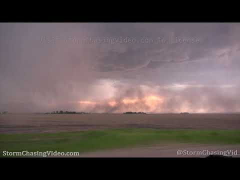
10). Gustnado / tornado.
11). Wider shot of gustnado.
12). Dust and strong winds.
13). Blowing dust and view of storm RFD / wall cloud.
14). Dust across road.
15). RFD dust plume.
16). Rising dust / small gustnado.
17). Inflow and RFD with cloud base.
18). View of bow segment forming.
19). Rain free base.
20). View of bow segment and hail core.
21). Scud / wall cloud.
22). Hail off I-35 (4 shots).