A tropical disturbance is getting better organized in the vicinity of south Florida through the Florida Keys and bringing gusting winds and extremely heavy rains the region. NHC has just upgraded the probability of formation to 40%. The Florida Keys are still shut to non-residents due to COVID-19. Contains shots from Marathon, Miami, and Key West.
Package shot using robotic remote cameras. No audio.
Shot Description
1) Looking over the Atlantic Ocean east from Marathon Florida with clouds and rain.
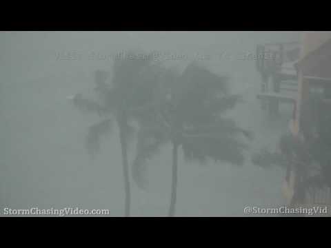
2,3,4) Three shots of water front condo and palm trees in heavy wind driven rain obscuring visibility.
5) Another shot looking east from Marathon over Atlantic Ocean.
6) Looking west over town of Marathon FL. Visibility obscured in heavy rain.
7,8) Palms and condo in extremely heavy rain.
9) Fast moving dark clouds over downtown Miami at Biscayne Bay.
10) Dark tropical storm clouds moving over the Port of Miami.
11) Two tug boats assist a cruise ship attempting to dock at Port of Miami in high winds.
12) Conch Republic flags in wind at Key West harbor.
13) Rain wet empty docks at Key West harbor.
14) Tropical clouds moving over Christmas Tree Island off Key West.
15) Boats moored at Key West harbor Marina.