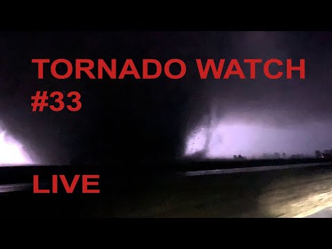
Live traffic and tower cameras covering the area of tornado watch #33 until 8pm CDT. Camera switches every 90 seconds. Current area of interest is from Little Rock Arkansas to the north east to MO/TN border. Severe weather 2022. 511 storm chasing.
SPC text on Tornado watch #33:
URGENT – IMMEDIATE BROADCAST REQUESTED
Tornado Watch Number 33
NWS Storm Prediction Center Norman OK
215 PM CST Sun Mar 6 2022
The NWS Storm Prediction Center has issued a
* Tornado Watch for portions of
Western and Northern Arkansas
Southern Missouri
Southeast Oklahoma
* Effective this Sunday afternoon and evening from 215 PM until
800 PM CST.
* Primary threats include…
A few tornadoes likely with a couple intense tornadoes possible
Scattered large hail likely with isolated very large hail events
to 2.5 inches in diameter possible
Scattered damaging wind gusts to 70 mph likely
SUMMARY…Thunderstorms will intensify across the watch area this
afternoon and spread northeastward. The cluster of most intense
storms is likely to evolve over western/central Arkansas, posing a
risk of a strong tornado or two, large hail, and damaging winds.
The tornado watch area is approximately along and 60 statute miles
north and south of a line from 20 miles south southwest of Poteau OK
to 40 miles east southeast of Poplar Bluff MO. For a complete
depiction of the watch see the associated watch outline update
(WOUS64 KWNS WOU3).
PRECAUTIONARY/PREPAREDNESS ACTIONS…
REMEMBER…A Tornado Watch means conditions are favorable for
tornadoes and severe thunderstorms in and close to the watch
area. Persons in these areas should be on the lookout for
threatening weather conditions and listen for later statements
and possible warnings.
=== end SPC ===
#tornadowatch
#WXAR
#WXMO
#WXTN

