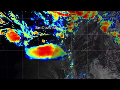
Here is the edit in 4K video of the satellite loop from NOAA in the various different channels of the satellite imagery.
The satellite imagery consists of the Geocolor, Night Micro, Sandwich, Shortwave IR Band 7, Upper and Mid Level Water Vapor Bands 8, 9, and Longwave IR Band 14.
#Tonga
#Volcano