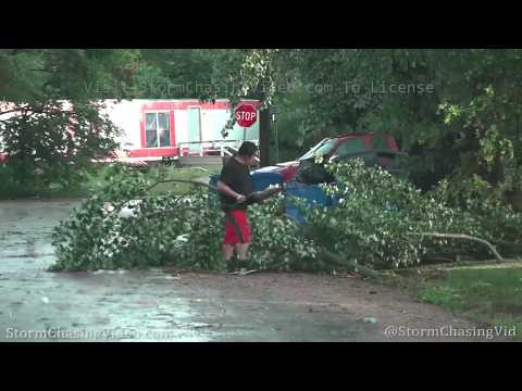
A long track supercell that developed in northeastern Wyoming tracked through the Black Hills of South Dakota before eventually moving southeast into northwestern Nebraska as part of a developing MCS that pushed into Central Nebraska late into Friday night. This storm was responsible for a brief tornado west of the town of Martin where this video package was shot. It opens in the “bear cage” with blinding rain and wind as the reported tornado moved within a mile of the photographer. Ends with minor flooding and tree damage in town.
Martin, SD is 100 miles southeast of Rapid City near the Nebraska border.
Shot Description
Clips 1-4: Driving west of town around the time of the tornado report as the rain-wrapped hook crossed US Highway 18.
Clips 5-6: Very high winds blowing rain through the grass around the car.
Clips 7-11: Shots of high winds on the backside of the storm in Martin.
Clips 12-14: Various shots of water covering US-18 in town with cars navigating through.
Clips 15-17: Shots of a large tree limb that crashed down on the back of a pickup truck.
Clip 18: Man removing tree debris from the street.
Clip 19-23: Various shots of large tree debris littering yards in town.
Clips 24-25: POV driving lightning strikes.

